Division Overview
UAV & Geomatics Sourcing
Our Information Technologies division focuses on the procurement and deployment of high-altitude and long-endurance autonomous systems. We provide public utilities, municipal mapping departments, and infrastructure agencies with the telemetry systems, processing platforms, and aerial hardware required for automated, high-precision remote data collection and surveying.
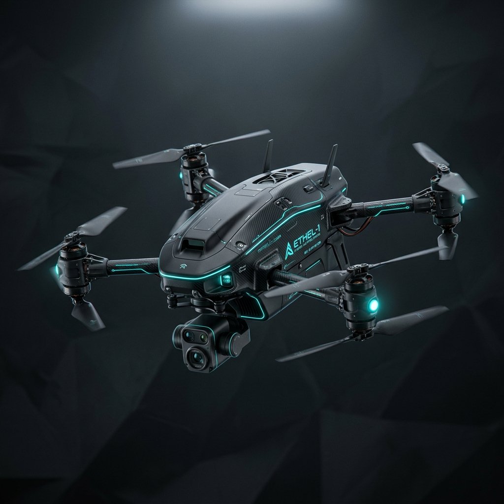
AeroMap-V4 Hybrid VTOL
A long-endurance vertical take-off and landing mapping drone designed specifically for high-resolution topographical imaging across rugged mountains and pipelines.
-
Flight Endurance: 150 minutes continuous flight time.
-
Max Payload: Support up to 2.5 kg mapping sensors.
-
Secure Link: AES-128 encrypted real-time flight controls.
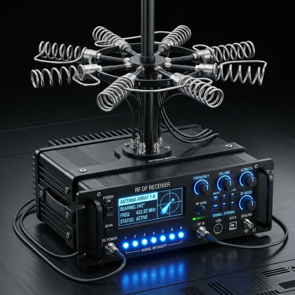
LiDAR-Scan Geo-70
An ultra-lightweight laser scanning sensor payload engineered to fit drone mounting gimbals, capturing real-time high-density geographic point clouds.
-
Sensing Range: 70m active depth detection radius.
-
High Scan Speed: Traces 240,000 coordinate dots per second.
-
Field Accuracy: ±20mm relative precision calibration.
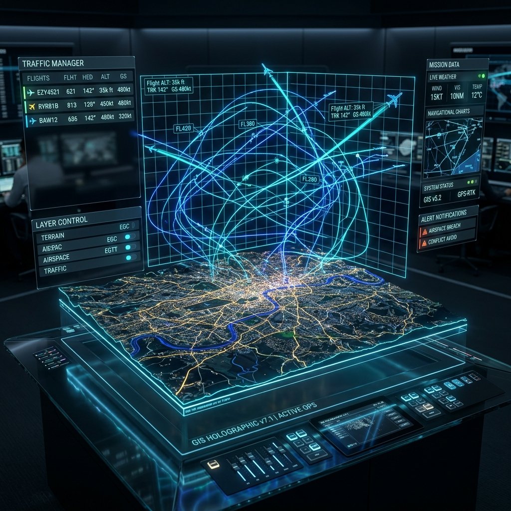
GroundStation-Pro Terminal
A dual-display rugged mobile field terminal equipped with telemetry antennas, allowing technicians to track flight routes and view sensor feeds simultaneously.
-
Visual Interface: Dual 15.6" Full HD high-brightness monitors.
-
Security Standard: AES-256 encrypted hardware drive.
-
Rugged Shell: IP65 drop-proof MIL-SPEC casing.